Unmanned Aerial Vehicles for Remote Sensing and Photogrammetry
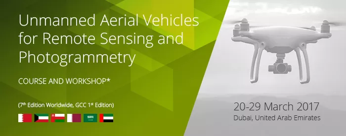
This is a two-week extensive course and workshop on remote-sensing and photogrammetry techniques using aerial images from Unmanned Aerial Vehicles (UAV). A broad group of top UAV professionals and academics has been invited to share their knowledge and experience on a wide variety of UAV and remote-sensing related topics.
The theory is combined with hands-on training with real UAV datasets and case studies of real applications explained by the professionals concerned. During the full two weeks, practical UAV mission flights will be carried out in order to give participants a real case view of all topics discussed on state-of-the-art hardware and software.
At the end of the course, participants will have a clear understanding of how to integrate drones into geomatics projects by setting up a complete UAV mission pipeline, from UAV system selection to image post-processing techniques, taking into account the main characteristics of each mission type and objectives. This course will help participants to acquire all the knowledge they need to select the UAV system that best suits to their application, correctly operate them and identify which remote-sensing analytical techniques can be used to obtain information from the images.
Participants who already have experience working with UAV systems will benefit from learning state- of-the-art techniques for geomatics, obtaining a broad view of all aspects of UAV in this field, discovering new applications and networking with other participants from around the GCC region and the world.
Please follow this link to register: http://go.gistec.com/uav-for-remote-sensing-and-photogrammetry
- Arabian Gulf University (AGU), Manama, Bahrain
- BCN Drone Center, Barcelona, Spain
Co-organizer
- International Center for Biosaline Agriculture, Dubai, UAE


