How ICBA supports decision-making on rainfed agriculture in Middle East, North Africa
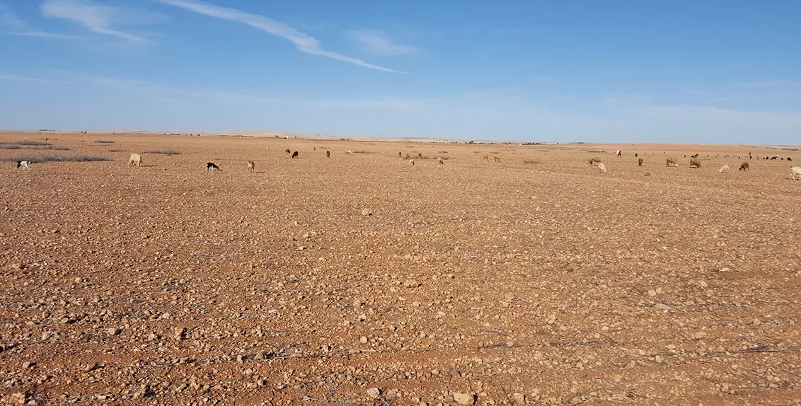
Soil moisture is almost everything for rainfed agriculture. It is a key factor determining crop productivity. It is especially important in rainfed areas of the Middle East and North Africa (MENA) - the most water-scarce region in the world. Farmers in most of the region practice rainfed agriculture and rely heavily on moisture available at the root zone level.
Root zone soil moisture data is, therefore, necessary for scheduling irrigation times, forecasting crop yields, and especially early warning of droughts. This type of data is also crucially important as several countries in the region face frequent and severe dry spells caused by climate change.
However, this data is hard to measure using satellites alone. Satellite-generated data covers only a few centimeters of topsoil. To address this issue, several tools have been developed in different countries to assess root zone soil moisture at the local, regional and global scales.
As part of these efforts, the International Center for Biosaline Agriculture (ICBA) has also adapted an open-source product to generate more accurate root zone soil moisture data for rainfed areas of the MENA region. This root zone soil moisture product is a result of years of ICBA’s collaboration with the National Aeronautics and Space Administration (NASA).
Since 2012, ICBA has been working with NASA to adapt its Land Information System (LIS) software to the climatic conditions in the MENA region. The system is an ensemble of surface models that assess the hydrological cycle at different scales starting from the 1-kilometer resolution upwards. Over the years, ICBA has been generating root zone soil moisture data at the 5-kilometer resolution monthly for the entire region for the period of January 2000 up to the present.
The product serves as one of the main components for the regional drought monitoring system (RDMS), which ICBA developed under the project titled "Middle East North Africa - Regional Drought Management System (MENA-RDMS)". Funded by the United States Agency for International Development (USAID), the project, which ran from 2015 to 2019, was implemented in partnership with the National Drought Mitigation Center and the Center for Advanced Land Management Information Technologies (CALMIT) of the University of Nebraska-Lincoln, the Daugherty Water for Food Global Institute of the University of Nebraska, and the Food and Agriculture Organization of the United Nations (FAO).
Under the MENA-RDMS project, ICBA assisted government institutions in Tunisia, Jordan, Lebanon, and Morocco in operationalizing their drought monitoring systems. ICBA also built capacities of local experts and decision-makers in these countries to produce and analyze data on soil moisture, vegetation health, and rainfall for drought monitoring.
Moreover, ICBA helped set up drought management units in the four countries and generated Composite Drought Index (CDI) maps used in the drought management processes in these countries. The national drought monitoring systems that were developed and validated in partnership with local experts were transferred to the countries and are now operated by local organizations to generate monthly CDI maps. These organizations use root zone soil moisture data produced by ICBA as one of the inputs for their national drought monitoring systems.
The data from derived products of the MENA-RDMS project, including the root zone soil moisture product, directly benefits the drought management units in Morocco, Tunisia, Lebanon, and Jordan. The regional CDI and derived product for the entire MENA region is generated and disseminated by ICBA through its portals (see here and here) and via the FAO Regional Knowledge Hub (see here).
The root zone soil moisture product can also be used in other countries with rainfed agriculture and is useful for researchers, insurance companies, and water users for their day-to-day operations and short- and long-term planning.

